


Tour du Mont Blanc (North)
Posted on Tuesday, 21 August 2018 . Permalink
Rachel and Steph walked the northern section of the Tour du Mont Blanc in July, starting in Courmayeur, and walking the usual anti-clockwise route to Les Houches.
Day 1 - Chamonix to Courmayeur
We started in Chamonix, and took our rest day at the start of the trip, due to logistics. We started the day with an ice cream, which we reckon should be the start of any day...!

We then took the cable car to the Aiguille du Midi, where we were treated to some fantastic views of the Mont Blanc summit.
Unfortunately, the cable car across the top of the range to the Italian side of Mont Blanc is out of order this season, meaning the only way to get to the Aiguille du Midi is from Chamonix. However, we'd highly recommend it if you have the time, and the weather is good!
We then caught the bus through the tunnel to Courmayeur, where we enjoyed a fantastic pizza at Du Tunnel. Another strong recommendation!
Day 2 - Courmayeur to Rifugio Bonatti
This was the first day of walking, and the weather was fantastic!

Here is the view from Rifugio Bertone, looking back towards Courmayeur. This is a great spot to take a pause after the long and steep climb out of Courmayeur before carrying on up the hill.
From here, we took the Mont de la Saxe route, which is the high option for the day. We thoroughly enjoyed the views of this stage, but being used to living in Scotland, the weather was a challenge...!
The presence of this tiny dog at the Tete de la Tronche spurred us on, and gave us hope that if he can do it, then so can we..!
We persevered with the heat, and made it to Rifugio Bonatti, where we were able to enjoy the fantastic views of the mountains in the low sunlight.


Bonatti is a fantastic hut, which is much more modern than some other huts on the route, and it was a delight to stay here!
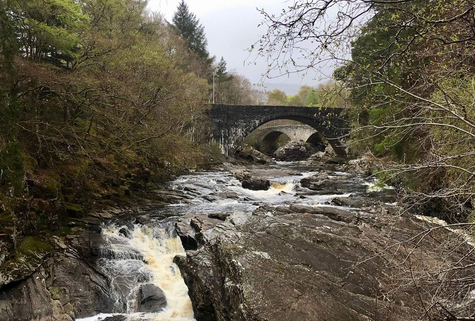
Day 3 - Rifugio Bonatti to La Fouly
Today we enjoyed the slightly flatter day from Bonatti to La Fouly. The day starts with quite a gentle walk to Rifugio Elena, where we stopped for some fuelling snacks before climbing the Grand Col Ferret (2,537m)
The view from the Col is wonderful, and looks back up the valley towards Courmayeur. You can also usually get some great views of Mont Blanc from here, but unfortunately the clouds had covered it when we arrived.
We then enjoyed the downhill section into La Fouly, which began to have quite a Canadian feel..!
Day 4 - La Fouly to Champex
This is quite a short and flat day, in comparison to the previous two, which was welcomed by our legs which were still adjusting to the terrain! We also welcomed the cooler weather! You pass through a number of very quaint and typical alpine villages, in the valley leading up to the climb to Champex.


The climb up to Champex then feels significantly easier than the previous two days of climbing, and offers some lovely views back to the valley below:

After arriving into Champex, we had some time, so enjoyed a leisurely and fresh (!) lunch at Hotel Mont Lac, which also had a lovely lakeside view.


Day 5 - Champex to Trient
Today we took the Bovine route form Champex to Trient. We chose this over the Fenetre d'Arpette route, which was newly re-opened just before we arrived. The bovine route was still a lovely day though, with plenty of animals, including dogs and of course some cows!
While we were on the route, the wildflowers were still out in force, so we enjoyed the bright colours they provided!
Day 6 - Trient to Argentiere
Unfortunately, we had to stop our walk early due to illness, which is very uncommon! However, we enjoyed the scenic views from the Mont Blanc Express on the journey from Martigny to Argentiere.


The views from Argentiere offer the first look at Mont Blanc since day 2 of our walk!
Day 7 - Argentiere to Les Houches
Today we skipped the stage to Refuge de la Flegere and headed straight to Les Houches. A charming town which offers some amazing close up views of the mountains!
Day 8 - Refuge de la Flegere
To end our trip, as we were still not up to hiking, we got the cable car up to Flegere, where we sat and enjoyed the amazing views of the Mont Blanc range!
It was certainly a shame to miss out on the last 3 days of walking, but we hope to return next season to finish the trip! However, the views were simply amazing, and there are far worse places to be..!
The Northern section of the route is a perfect length, and each day has something different to offer, it's impossible to get bored of a route as amazing as this! :-)
 Link text - please join us!


 WHAT WE DO


